
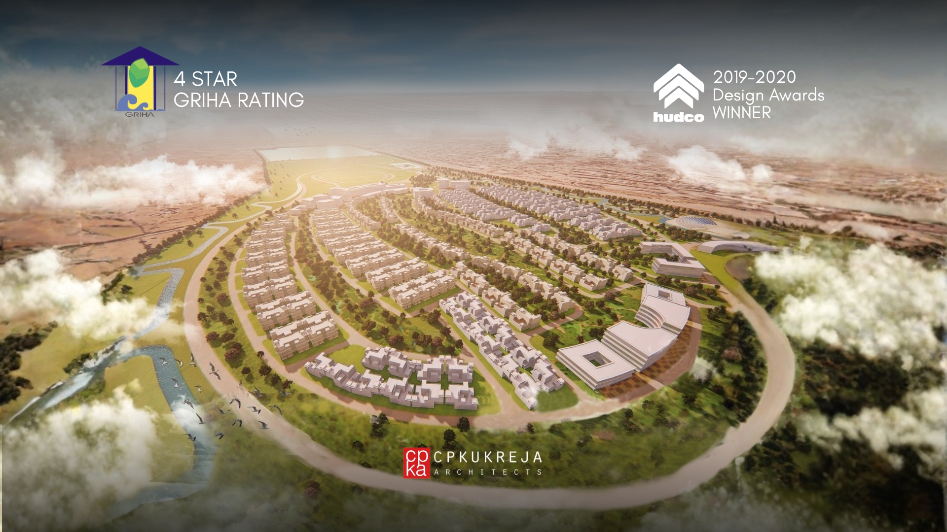
HRRL Township, Barmer
A 4-Star Griha-Rated Desert Oasis
In the sun-scorched vastness of Rajasthan's Thar desert, where ecological limits and climatic extremities are unrelenting, the HRRL Township designed by CP Kukreja Architects proposes a counter-model to the extractive urbanism so often associated with industrial infrastructure. The site situated in the heart of the Great Indian Desert in Barmer is surrounded by saline soils, scarce groundwater, and extreme temperatures. In response, the project reframes the brief: from housing employees to constructing a self-sustaining civic framework fit for an arid climate.
The township spans 248 acres and is designed to accommodate residential, institutional, and security infrastructure. It has been awarded a 4-Star rating under the GRIHA Large Developments category, meeting the benchmark through integrated systems design.
Planning with Water
The master plan begins with a question of terrain. Rainfall in this region rarely exceeds 200 millimetres annually. Ground conditions are sandy, saline, and hydrologically fragile. Against this context, the plan reinterprets the traditional Rajasthani “johad”, a linear water retention system that draws monsoon runoff into a central spine, where it is slowed, filtered, and recharged into the aquifer.
Clusters of housing, public amenities, and recreation zones are arranged on either side of this spine. Orientation, density, and open space are driven by climate data. Wind corridors are preserved. South and west exposures are minimised. Solar access is balanced with thermal protection.
The site maintains more than 30 percent open space. Built-up area is capped at 1.76 lakh square metres. Floor Area Ratio remains below 1.0, allowing landscape, water, and sky to remain the dominant elements.
Architecture with a Thermal Agenda
Temperatures in Barmer rise above 50°C in summer, with stark diurnal shifts. The architecture addresses thermal comfort before style. Building typologies use fly ash brick for thermal mass. Roofs are coated with High-Solar Reflective Index paints. Fenestration is shaded, recessed, and cross-ventilated. Terraces are protected by overhangs and chhatris. Internal courts create stack ventilation and allow night-flush cooling.
There is no applied ornament. Traditional devices such as “jaalis” and “jharokhas” are adapted where they serve environmental performance.
Measured Environmental Performance
Water Strategy
- 100 percent rooftop rainwater harvesting
- 2 MLD sewage treatment plant with dual plumbing for reuse
- Twelve recharge pits distributed across the site
- Potable water demand reduced by 45 percent
- Stormwater managed through vegetated channels and open infiltration basins
Energy Use
- All street lighting powered by solar PV
- Passive cooling reduces mechanical energy demand by 38 percent
- Solar panels installed on community buildings
- Daylighting simulations used to optimise envelope design
- Public facilities equipped with daylight sensors and energy-efficient lighting
Landscape and Planting
- Over 75 acres of the site are treated as functional open space
- 5,000 native trees planted, including Prosopis cineraria and Acacia nilotica
- All planting follows xeriscaping principles
- Irrigation demand reduced by over 50 percent
- No lawns or high-water-demand vegetation used
Construction Protocols
- Over 90 percent of excavation material reused on site
- Erosion control, wheel-wash, and waste separation enforced during construction
- Topsoil preserved and reapplied post-construction
- Weekly environmental audits conducted on-site
- Green building coordinator appointed for real-time oversight
Embedded Infrastructure
Service networks are concealed within landscape corridors. Drainage, greywater, power, and irrigation lines are distributed through vegetated buffers rather than tacked onto roadways. Shaded streets reduce surface heat gain. Parking zones are broken with canopy trees and porous paving. Lighting design avoids light pollution and operates on time-based sensors.
Circulation is scaled to human movement. Pedestrian routes connect all civic, commercial, and social facilities. No vehicular dominance. No over-engineered hierarchy.
Civic Structure and Daily Use
The township includes schools, anganwadis, retail, a guest house, club, auditorium, and township offices. Public programs are placed at intersections, not margins. Community interaction is enabled through courts, walkways, and shaded edges. CISF facilities operate securely but remain visually and spatially connected.
There is no central plaza or forced iconography. The civic realm is distributed, occupiable, and continuous.
Execution and Delivery
All design work was completed at GFC stage before construction began. A phased implementation strategy was followed, with systems installed in coordination with landscape. Drawings, specifications, and calculations were pre-reviewed under the GRIHA protocol.
On-site teams followed a detailed Construction Management Plan. Waste, dust, runoff, and material sourcing were tracked. All environmental systems were commissioned with third-party validation.
Statement from the Practice
“In Barmer, the act of designing begins with listening to the desert,” says Dikshu C. Kukreja, Managing Principal at CP Kukreja Architects . “This township is not a singular gesture. It is a working system. We built it to endure, to conserve, and to grow into its place.”
The HRRL Township does not perform green optics. It operates through design that accounts for climate, resource, and program together. The architecture does not declare itself. It shelters. The plan does not dominate. It adapts.
In a region where most developments overreach, this one holds its ground.
Our blog

What Makes 'Tropical Architecture' By C P Kukreja A Timeless Treatise
- BLOGS
- NOVEMBER 11, 2022
Published in 1978, the book 'Tropical Architecture', is based on our founder CP Kukreja's master's thesis at the University of Manitoba, Canada - 'Design of Buildings in the Tropics.'It brings to attention many design solutions as a reference for designing in tropical climates or regions
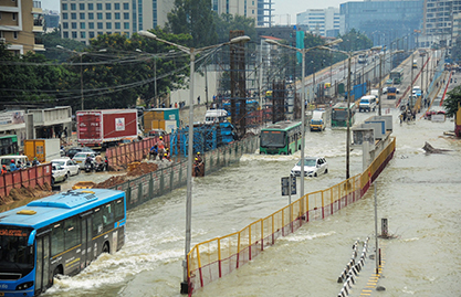
How Can We Shape Flood-Resilient Cities
- BLOGS
- OCTOBER 20, 2022
The India Meteorological Department (IMD) recorded 7% surplus rainfall during Monsoon in India this year, which left many cities submerged. Earlier, only rural areas and unplanned cities fell prey to floods because of the lack of proper stormwater infrastructure.
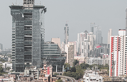
How Can India Push Its Infrastructural Growth to the Next Level
- BLOGS
- SEPTEMBER 09, 2022
The key to India's transformation from a developing nation to a developed one lies in strengthening its infrastructure across sectors
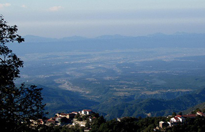
Why the Smart Cities Mission Has Not Solved Dehradun’s Urbanisation Woes
- BLOGS
- SEPTEMBER 09, 2022
Himalayan foothills in India are replete with scenic cities, towns and villages. Dehradun, the capital of the mountainous state of Uttarakhand, is one such city.
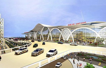
How to Design a New-Age Transport Hub
- BLOGS
- SEPTEMBER 09, 2022
A transportation hub is an area where passengers and goods transition between different modes of transportation. Some examples include bus terminals, railway stations, metro stations and airports.
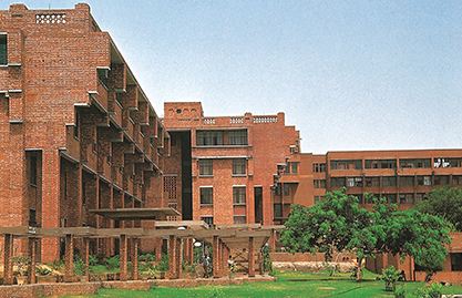
Three Ways to Create Holistic Learning Environments
- BLOGS
- SEPTEMBER 09, 2022
Educational institutes are the basic building block of any civil society. They extend opportunities for students who, as citizens, steer a nation towards its growth.